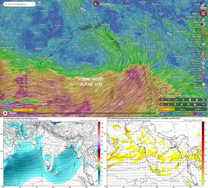
Due to a counter-clockwise air current in the atmosphere above 5,000 feet in the middle of the Bay of Bengal, intense monsoon weather is forecast over Myanmar, with heavy rains in some areas in the next 24 to 72 hours, according to meteorologist U Win Naing.
“A low-pressure area is forming at an altitude of 5,000 feet. It is called Upper Air Cyclonic Circulation (UACC). The UACC is happening. It is heading northwest to the same area on the east coast of India where Cyclone Remal hit. It is our forecast. The low-pressure area is circulating counter-clockwise at 5,000 feet. It will intensify In the next 24 to 48 hours. It will turn the wind from the Bay of Bengal counter-clockwise and pass over the Taninthayi Region, the Gulf of Moattama, the Ayeyarwady Delta and Bago Yoma. The internal current will become stronger,” he said.
Therefore, the cumulonimbus clouds currently forming in the Bay of Bengal may reach Myanmar along with the current.
“At the same time, the remnants of the low-pressure area in the South China Sea enter northern Vietnam. Whirlwinds from the west: They are clouds. The clouds moving in from the east are now over northern Thailand, Laos and eastern Myanmar. As a stronger southwestern monsoon meets with the clouds of incoming current, there will be heavy rains. I forecast that there will be heavy rains in the next 24 to 72 hours,” he said.
Flooding, sudden mountain torrents, landslides and mudslides are possible after heavy rains, and people are advised to be aware of these natural disasters. — Thit Taw/ZN/ED
Meteorologist forecasts heavy rains across Myanmar in 24-72 hours
- June 26, 2024
- 42


